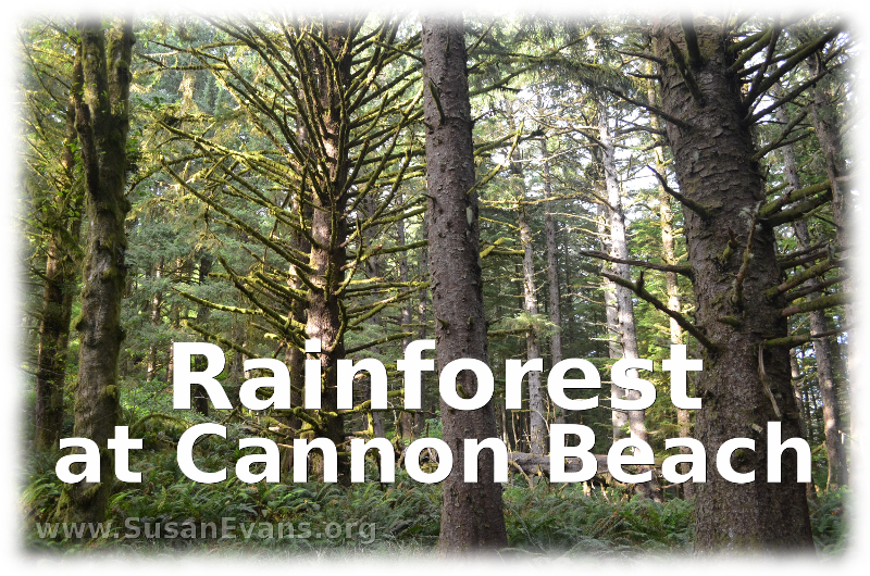
 We hiked through a rainforest at Cannon Beach, and it was beautiful! We were at Ecola State Park, where we could see breathtaking views from the side of the mountain. The park is right beside the beach itself. The air is humid, and the greenery from the moss and ferns is so vibrant! Take a look at this massive tree with lots of greenery growing on top of its huge branches!
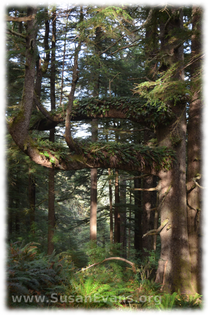 The sunlight shone through the trees to give the path an almost green glow. We saw a fallen tree with moss growing on it. Some of the trees were hundreds of years old.
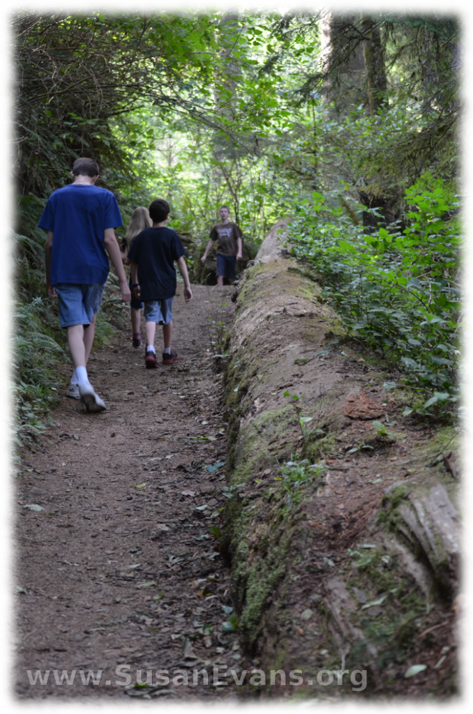 We parked our car in one of the two parking lots and hiked up to the lighthouse lookout, where the lighthouse was still quite far away. The trail was two miles, so the entire hike was four miles. The scenery was beautiful the whole time. You could look down over Cannon Beach for a while until you were around the side of the mountain.
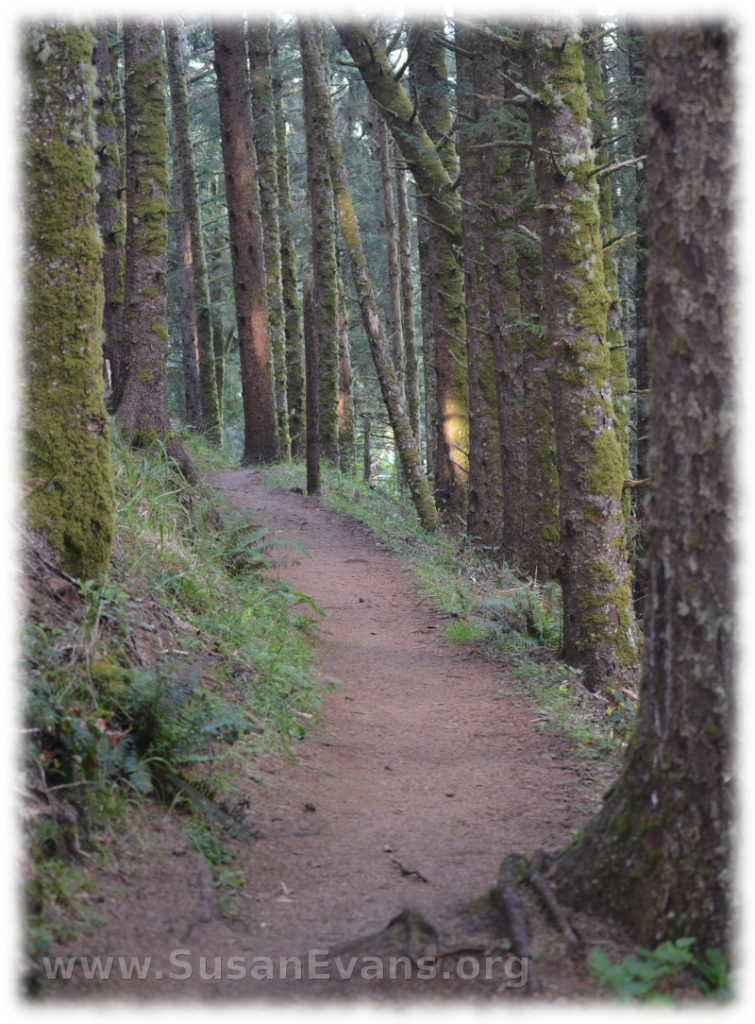
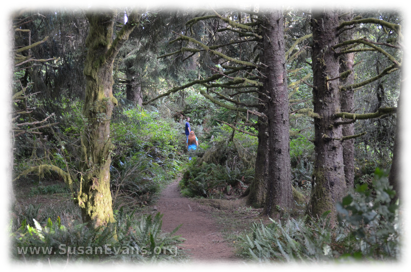 If I had been alone with some paper and a pencil, I might have sat down and written some poetry. Look at this path… Doesn’t it make you feel inspired?
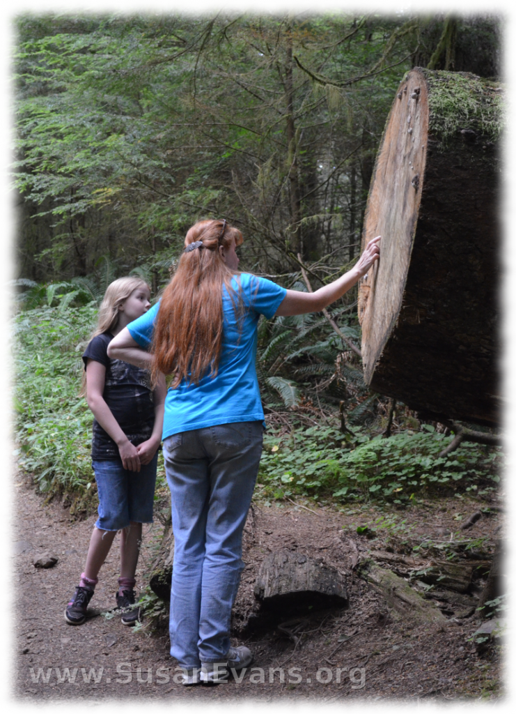
 My daughter and I began counting rings on the tree trunk to see how old the tree was when it fell. This gave us an indication for how old the thicker trees were.
 We found lots of mushrooms during our walk. Mushrooms thrive in damp environments, so I was not surprised. These mushrooms looked almost cartoon-like!
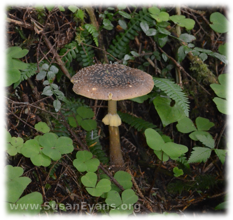 Some of the varieties I had never seen before. I would have brought a mushroom guide if I had known we were going to see so many varieties of mushroom.
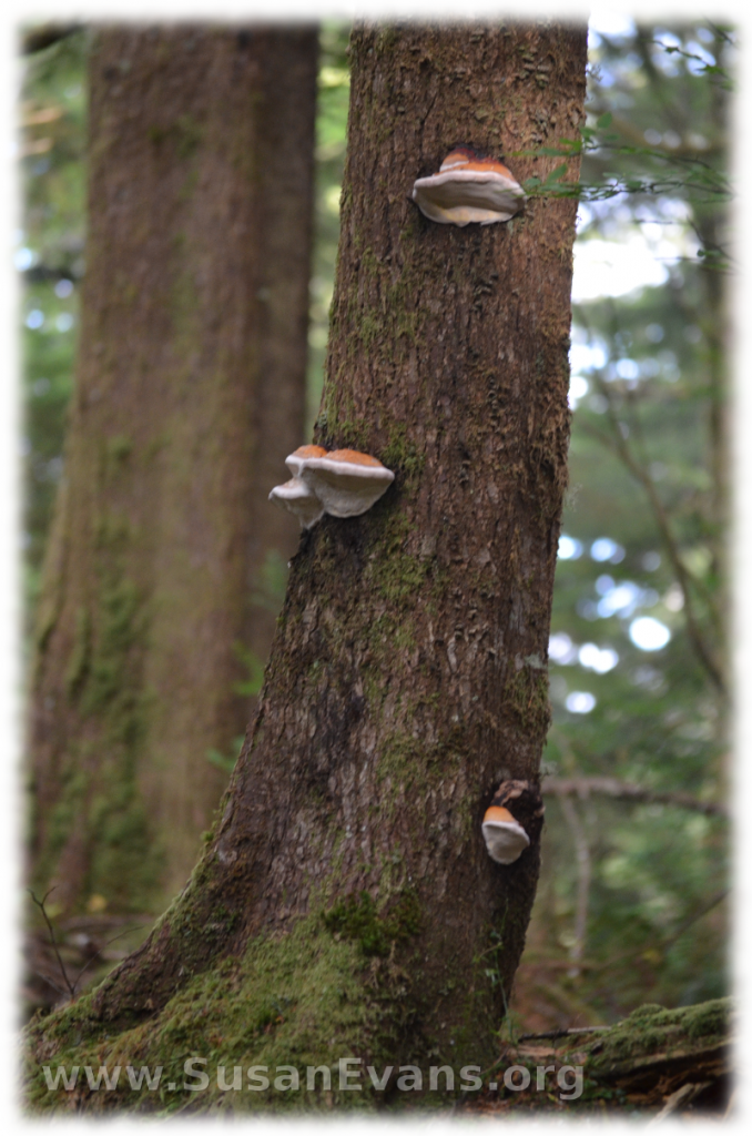
 Some were growing straight out of the tree trunks. These are called shelf mushrooms.
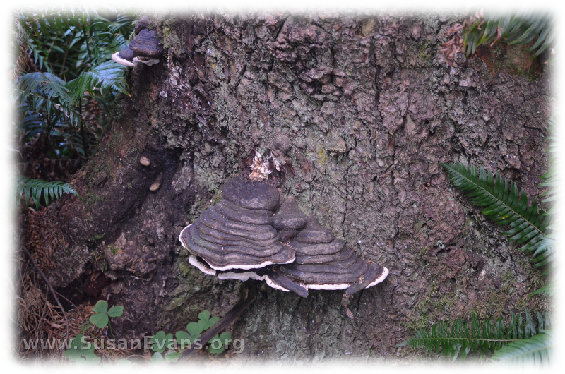
 This shelf mushroom looks like blackened lava from a volcano!
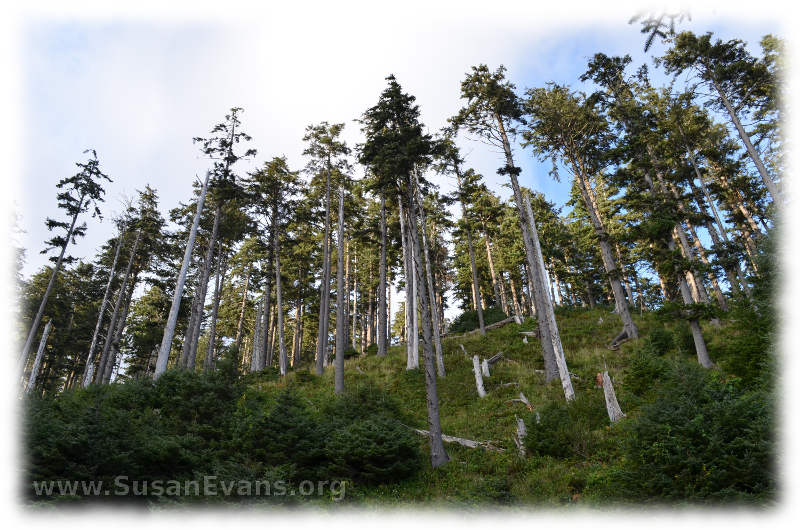
 My husband took this picture from a low angle so that you can see how small you feel among such tall trees.
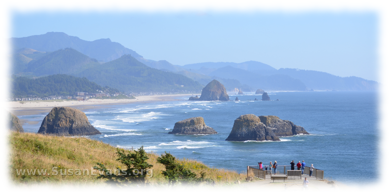
 So many beautiful scenes presented themselves as we climbed the mountain. Here is a scene from Cannon Beach that includes Haystack Rock.
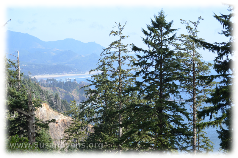
 Then you see partial views of the ocean and seashore through the trees .
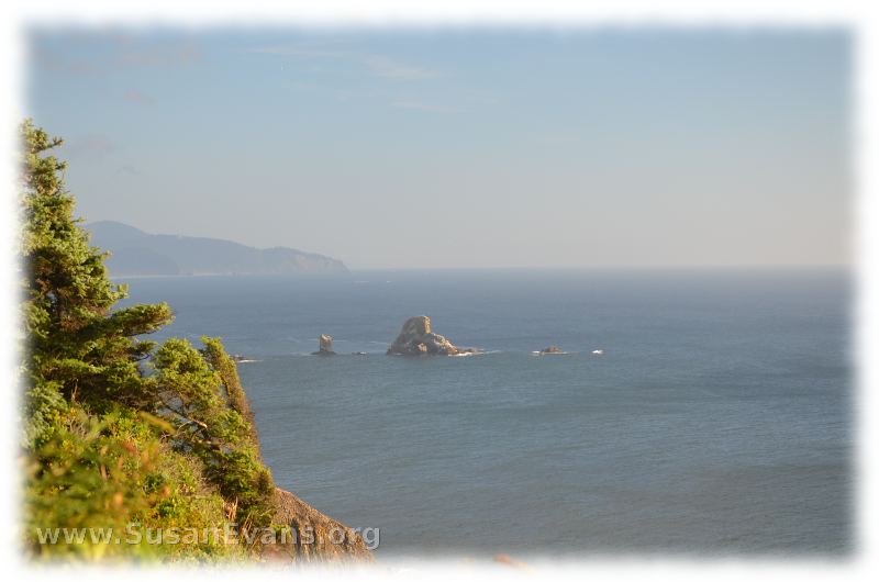
 Many rocks jut out of the water. One of the larger rocks has a hole through it.
 We thoroughly enjoyed hiking through the rainforest at Cannon Beach!
Find out what else we did while we were at Cannon Beach: Our Cannon Beach Vacation

